Geolocate

Renner topographic map

Click on the map to display elevation.

About this map

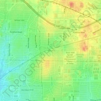
Name: Renner topographic map, elevation, terrain.

Location: Renner, Dallas, Collin County, Texas, 75252, United States (32.97040 -96.79417 33.01040 -96.75417)

Average elevation: 206 m

Minimum elevation: 185 m

Maximum elevation: 228 m

Gear up for your next adventure:

🧴Sunscreen SPF - Sun protection for outdoor activities
🍳Ultralight Camping Stoves - Boil water quickly for meals using minimal fuel
🎽Hiking Clothing - Breathable clothing for hiking
🚴Cycling Backpacks - Backpacks for cyclists
📡Weather Radios - Emergency weather radios

As an Amazon Associate, this site earns from qualifying purchases at no extra cost to you.