
福連里 topographic map
Interactive map
Click on the map to display elevation.
About this map
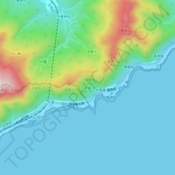
Name: 福連里 topographic map, elevation, terrain.
Location: 福連里, Daku, Gongliao District, New Taipei, ROC (24.96738 121.94538 25.00738 121.98538)
Average elevation: 104 m
Minimum elevation: -2 m
Maximum elevation: 468 m