Kchun-lun topographic map
Interactive map
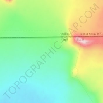
Click on the map to display elevation.
About this map
Name: Kchun-lun topographic map, elevation, terrain.
Average elevation: 6,188 m
Minimum elevation: 6,075 m
Maximum elevation: 6,397 m

Click on the map to display elevation.
Name: Kchun-lun topographic map, elevation, terrain.
Average elevation: 6,188 m
Minimum elevation: 6,075 m
Maximum elevation: 6,397 m