
Strathgordon topographic map
Interactive map
Click on the map to display elevation.
About this map
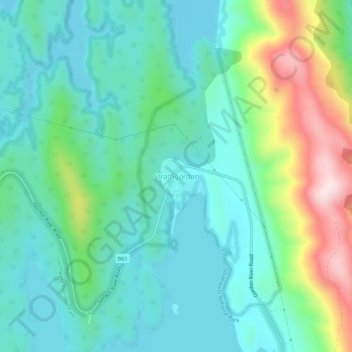
Name: Strathgordon topographic map, elevation, terrain.
Location: Strathgordon, Tasmania, Australia (-42.78665 146.02582 -42.74665 146.06582)
Average elevation: 397 m
Minimum elevation: 290 m
Maximum elevation: 710 m