
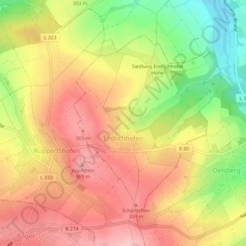
Endlichhofen topographic map
Interactive map
Click on the map to display elevation.
About this map
Name: Endlichhofen topographic map, elevation, terrain.
Average elevation: 313 m
Minimum elevation: 224 m
Maximum elevation: 376 m
Der Ort liegt im Taunus im sogenannten Blauen Ländchen westlich von Nastätten. Zu Endlichhofen gehört auch die Siedlung Endlichhofer Höhe.