
Konni topographic map
Interactive map
Click on the map to display elevation.
About this map
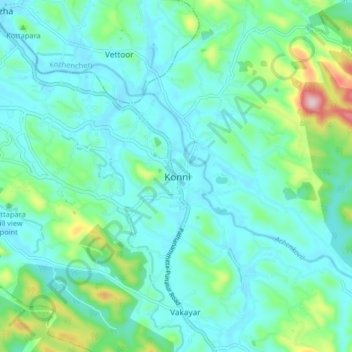
Name: Konni topographic map, elevation, terrain.
Location: Konni, Pattanamtitta, Kerala, India (9.18695 76.80972 9.26695 76.88972)
Average elevation: 77 m
Minimum elevation: 19 m
Maximum elevation: 321 m