
Folkestone topographic map
Interactive map
Click on the map to display elevation.
About this map
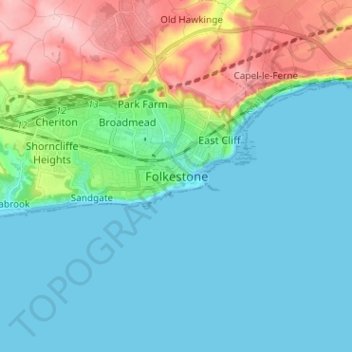
Name: Folkestone topographic map, elevation, terrain.
Location: Folkestone, Kent, South East, England, CT19 5JF, United Kingdom (51.04871 1.12636 51.12871 1.20636)
Average elevation: 65 m
Minimum elevation: -1 m
Maximum elevation: 189 m