
Lwang topographic map
Interactive map
Click on the map to display elevation.
About this map
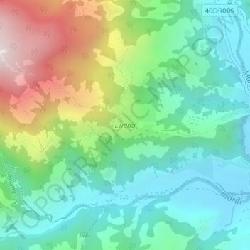
Name: Lwang topographic map, elevation, terrain.
Location: Lwang, Lwangghale, Machhapuchchhre, कास्की, Gandaki, Népal (28.32492 83.86632 28.33277 83.87906)
Average elevation: 1,369 m
Minimum elevation: 1,084 m
Maximum elevation: 1,994 m