Geolocate

Deroche topographic map

Click on the map to display elevation.

About this map

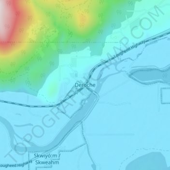
Name: Deroche topographic map, elevation, terrain.

Location: Deroche, Area G (Deroche/Dewdney/Sumas Mountain), Fraser Valley Regional District, British Columbia, V0M 1G0, Canada (49.16816 -122.09255 49.20816 -122.05255)

Average elevation: 115 m

Minimum elevation: 2 m

Maximum elevation: 947 m

Other topographic maps

Click on a map to view its topography, its elevation and its terrain.

Gear up for your next adventure:

🧊Insulated Stainless Steel Flasks - Keep water cold for 24 hours in the heat or coffee hot in the cold
📡Weather Radios - Emergency weather radios
🧤Thermal Hiking Gloves - Keep your hands warm and functional during high-altitude winter treks
🪑Portable Backpacking Chairs - A comfortable seat for studying maps at the end of the day
🔋Rechargeable Batteries - Eco-friendly power for high-drain GPS units and flashlights

As an Amazon Associate, this site earns from qualifying purchases at no extra cost to you.