Geolocate

Hacksneck topographic map

Interactive map

Click on the map to display elevation.

About this map

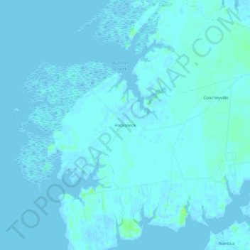
Name: Hacksneck topographic map, elevation, terrain.

Location: Hacksneck, Accomack County, Virginia, 23358, United States (37.62319 -75.89049 37.66319 -75.85049)

Average elevation: 1 m

Minimum elevation: -2 m

Maximum elevation: 11 m

Other topographic maps

Click on a map to view its topography, its elevation and its terrain.

Cheeseman Island

United States > Virginia > Accomack County

Cheeseman Island, Accomack County, Virginia, 21866, United States

Average elevation: 2 m

Painter

United States > Virginia > Accomack County

Painter, Accomack County, Virginia, United States

Average elevation: 10 m

Tangier Island

United States > Virginia > Accomack County > Tangier

Tangier Island, Tangier, Accomack County, Virginia, 23440, United States

Average elevation: 2 m

Deep Creek

United States > Virginia > Accomack County

Deep Creek, Accomack County, Virginia, United States

Average elevation: 1 m

Wishart

United States > Virginia > Accomack County > Wishart

Wishart, Accomack County, Virginia, 23303, United States

Average elevation: 5 m

Herring Island

United States > Virginia > Accomack County

Herring Island, Accomack County, Virginia, United States

Average elevation: 2 m

Old Beach

United States > Virginia > Accomack County

Old Beach, Accomack County, Virginia, United States

Average elevation: 2 m