
Wagga Lugere topographic map
Interactive map
Click on the map to display elevation.
About this map
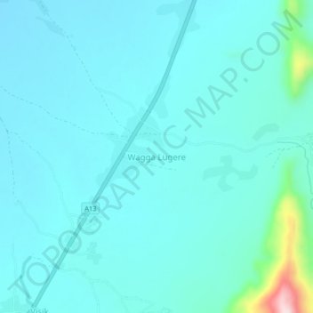
Name: Wagga Lugere topographic map, elevation, terrain.
Location: Wagga Lugere, Madagali, Adamawa State, Nigeria (10.89978 13.62860 10.93978 13.66860)
Average elevation: 491 m
Minimum elevation: 453 m
Maximum elevation: 768 m