
Liñares topographic map
Interactive map
Click on the map to display elevation.
About this map
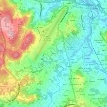
Name: Liñares topographic map, elevation, terrain.
Location: Liñares, Culleredo, La Coruña, Galicia, 15189, España (43.27385 -8.39624 43.31385 -8.35624)
Average elevation: 70 m
Minimum elevation: 0 m
Maximum elevation: 202 m