
富顺乡 topographic map
Interactive map
Click on the map to display elevation.
About this map
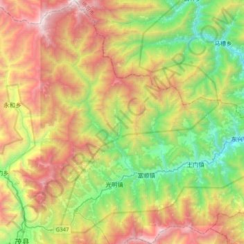
Name: 富顺乡 topographic map, elevation, terrain.
Location: 富顺乡, 茂县, 阿坝藏族羌族自治州, 四川省, 中国 (31.68041 103.86650 31.94555 104.05662)
Average elevation: 2,158 m
Minimum elevation: 947 m
Maximum elevation: 3,926 m
Other topographic maps
Click on a map to view its topography, its elevation and its terrain.