Geolocate

Santa Ana topographic map

Click on the map to display elevation.

About this map

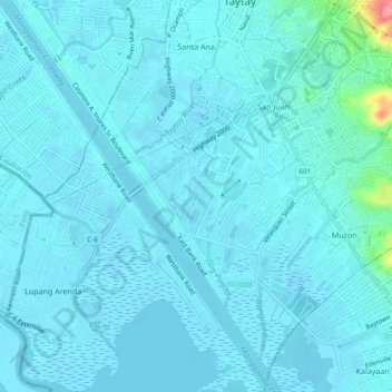
Name: Santa Ana topographic map, elevation, terrain.

Location: Santa Ana, Taytay, Rizal, Calabarzon, 1920, Philippines (14.52547 121.10408 14.57072 121.13062)

Average elevation: 9 m

Minimum elevation: -3 m

Maximum elevation: 105 m

Other topographic maps

Click on a map to view its topography, its elevation and its terrain.

Havila

Philippines > Rizal > Taytay

Average elevation: 106 m

Taytay River

Philippines > Rizal > Taytay

Average elevation: 15 m

Taytay River

Philippines > Rizal > Taytay

Average elevation: 5 m

Gear up for your next adventure:

🧊Insulated Cooler Bags - Keep food fresh for day trips to remote geographic sites
📷Backpack Camera Clips - Quick access to your camera while keeping your hands free for climbing
🧥Thermal Emergency Blankets - Compact Mylar blankets to prevent hypothermia if stranded overnight
👄SPF Lip Balm - Prevent sun and wind-burnt lips on mountain ridges
🧦Merino Wool Hiking Socks - Moisture-wicking socks to prevent blisters during long topographic surveys

As an Amazon Associate, this site earns from qualifying purchases at no extra cost to you.