
Kampung Balai topographic map
Interactive map
Click on the map to display elevation.
About this map
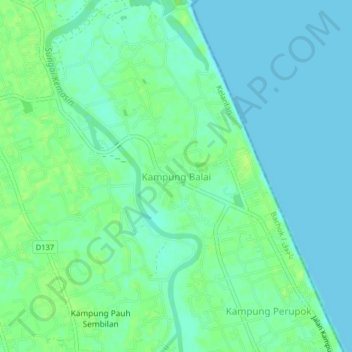
Name: Kampung Balai topographic map, elevation, terrain.
Location: Kampung Balai, Bachok, Kelantan, 16050, Malaysia (6.08657 102.35240 6.12657 102.39240)
Average elevation: 5 m
Minimum elevation: 0 m
Maximum elevation: 11 m