
Make a donation
Gear up for your next adventure:
As an Amazon Associate, this site earns from qualifying purchases at no extra cost to you.
Brawley topographic map
Click on the map to display elevation.
Make a donation
Gear up for your next adventure:
As an Amazon Associate, this site earns from qualifying purchases at no extra cost to you.
Brawley
Brawley is located in the Colorado Desert and Lower Colorado River Valley regions. The city's elevation, like other Imperial Valley towns, is below sea level.
Make a donation
Gear up for your next adventure:
As an Amazon Associate, this site earns from qualifying purchases at no extra cost to you.
About this map
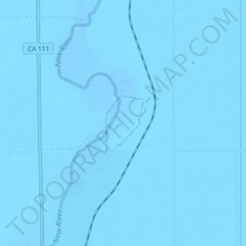
Name: Brawley topographic map, elevation, terrain.
Location: Brawley, Imperial County, California, United States (33.01551 -115.51818 33.02155 -115.51331)
Average elevation: -44 m
Minimum elevation: -55 m
Maximum elevation: -38 m
Make a donation
Gear up for your next adventure:
As an Amazon Associate, this site earns from qualifying purchases at no extra cost to you.