
Terowie topographic map
Interactive map
Click on the map to display elevation.
About this map
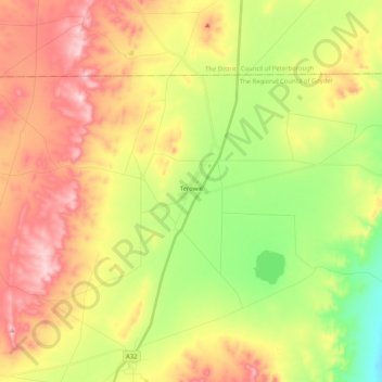
Name: Terowie topographic map, elevation, terrain.
Average elevation: 541 m
Minimum elevation: 406 m
Maximum elevation: 687 m
Elevation is 1,634 feet (498 m).