
Ire topographic map
Interactive map
Click on the map to display elevation.
About this map
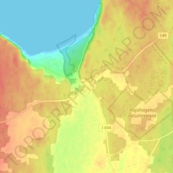
Name: Ire topographic map, elevation, terrain.
Location: Ire, Gotlands kommun, Comté de Gotland, 624 54, Suède (57.81186 18.58786 57.85186 18.62786)
Average elevation: 25 m
Minimum elevation: 0 m
Maximum elevation: 42 m