
Elaine topographic map
Interactive map
Click on the map to display elevation.
About this map
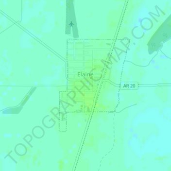
Name: Elaine topographic map, elevation, terrain.
Location: Elaine, Phillips County, Arkansas, 72389, United States (34.29988 -90.85971 34.31449 -90.84613)
Average elevation: 50 m
Minimum elevation: 46 m
Maximum elevation: 55 m
Other topographic maps
Click on a map to view its topography, its elevation and its terrain.
Elaine
United States > Arkansas > Phillips County > Elaine > Elaine
Elaine, Phillips County, Arkansas, 72389, United States
Average elevation: 50 m