
Booma topographic map
Interactive map
Click on the map to display elevation.
About this map
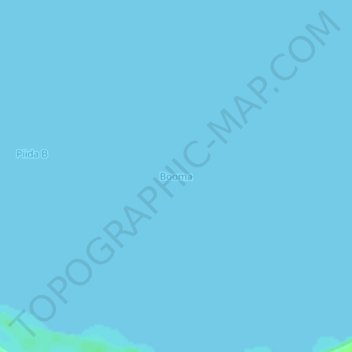
Name: Booma topographic map, elevation, terrain.
Location: Booma, Buliisa, Western Region, Uganda (1.82041 31.32628 1.86041 31.36628)
Average elevation: 615 m
Minimum elevation: 615 m
Maximum elevation: 622 m
Other topographic maps
Click on a map to view its topography, its elevation and its terrain.