
Зайсан topographic map
Interactive map
Click on the map to display elevation.
About this map
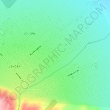
Name: Зайсан topographic map, elevation, terrain.
Average elevation: 615 m
Minimum elevation: 564 m
Maximum elevation: 740 m
Other topographic maps
Click on a map to view its topography, its elevation and its terrain.
Зайсан
Казахстан > Восточно-Казахстанская область > Зайсанский район
Зайсан, Зайсанский район, Восточно-Казахстанская область, 070700, Казахстан
Average elevation: 626 m