
Place de la Liberté topographic map
Interactive map
Click on the map to display elevation.
About this map
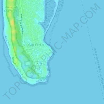
Name: Place de la Liberté topographic map, elevation, terrain.
Average elevation: 2 m
Minimum elevation: -2 m
Maximum elevation: 21 m
Other topographic maps
Click on a map to view its topography, its elevation and its terrain.
Parc naturel marin du Bassin d’Arcachon
France > Nouvelle-Aquitaine > Lège-Cap-Ferret
Parc naturel marin du Bassin d’Arcachon, Rue des Pluviers, Chez Hortense, Le Cap-Ferret, Lège-Cap-Ferret, Arcachon, Gironde, Nouvelle-Aquitaine, France métropolitaine, 33950, France
Average elevation: 6 m