Geolocate

Mount Perry topographic map

Interactive map

Click on the map to display elevation.

About this map

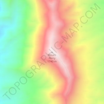
Name: Mount Perry topographic map, elevation, terrain.

Location: Mount Perry, Inyo County, California, United States (36.27351 -116.72454 36.27361 -116.72444)

Average elevation: 1,321 m

Minimum elevation: 902 m

Maximum elevation: 1,745 m

Other topographic maps

Click on a map to view its topography, its elevation and its terrain.

Beveridge

United States > California > Inyo County

Beveridge, Inyo County, California, United States

Average elevation: 2,073 m

Mount Whitney

United States > California > Inyo County

Mount Whitney, Inyo County, CAL Fire Southern Region, California, United States

Average elevation: 3,903 m