
Georges Lake topographic map
Interactive map
Click on the map to display elevation.
About this map
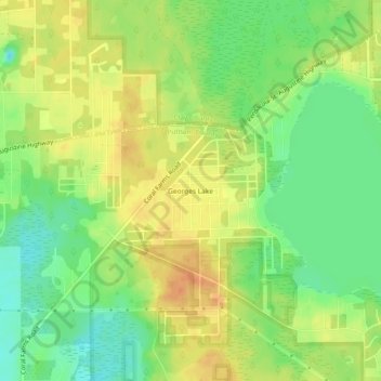
Name: Georges Lake topographic map, elevation, terrain.
Location: Georges Lake, Putnam County, Florida, 32140, United States (29.77385 -81.88815 29.81385 -81.84815)
Average elevation: 39 m
Minimum elevation: 17 m
Maximum elevation: 58 m