
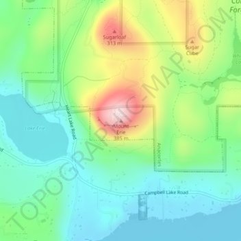
Mount Erie topographic map
Click on the map to display elevation.
About this map
Name: Mount Erie topographic map, elevation, terrain.
Average elevation: 128 m
Minimum elevation: 11 m
Maximum elevation: 381 m
Other topographic maps
Click on a map to view its topography, its elevation and its terrain.
Skyline Home Owners Association
United States > Washington > Skagit County > Anacortes
Average elevation: 14 m