
Ererê topographic map
Interactive map
Click on the map to display elevation.
About this map
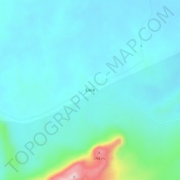
Name: Ererê topographic map, elevation, terrain.
Average elevation: 50 m
Minimum elevation: 7 m
Maximum elevation: 297 m
Other topographic maps
Click on a map to view its topography, its elevation and its terrain.
Vai Quem Quer
Brasil > Pará > Monte Alegre > Vai Quem Quer
Vai Quem Quer, Monte Alegre, Microrregião de Santarém, Região Geográfica Intermediária de Altamira, Pará, Região Norte, Brasil
Average elevation: 46 m