
Grotte Fallait Juste S'acharner topographic map
Interactive map
Click on the map to display elevation.
About this map
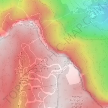
Name: Grotte Fallait Juste S'acharner topographic map, elevation, terrain.
Average elevation: 1,253 m
Minimum elevation: 491 m
Maximum elevation: 1,629 m