
Tendoy topographic map
Interactive map
Click on the map to display elevation.
About this map
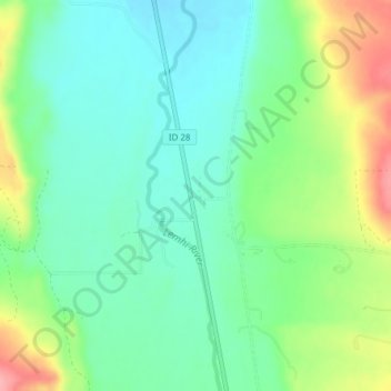
Name: Tendoy topographic map, elevation, terrain.
Location: Tendoy, Lemhi County, Idaho, 83468, États-Unis (44.95010 -113.65401 44.97010 -113.63401)
Average elevation: 1,496 m
Minimum elevation: 1,460 m
Maximum elevation: 1,571 m