
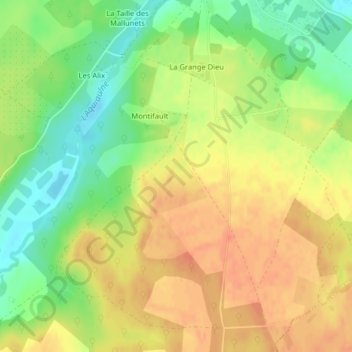
Les Quatre Vents topographic map
Interactive map
Click on the map to display elevation.
About this map
Name: Les Quatre Vents topographic map, elevation, terrain.
Average elevation: 148 m
Minimum elevation: 122 m
Maximum elevation: 167 m
Other topographic maps
Click on a map to view its topography, its elevation and its terrain.
L Ile
France > Centre-Val de Loire > Saint-Gondon
L Ile, Saint-Gondon, Montargis, Loiret, Centre-Val de Loire, France métropolitaine, 45500, France
Average elevation: 125 m