
Fort de Mons-en-Laonnois topographic map
Interactive map
Click on the map to display elevation.
About this map
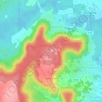
Name: Fort de Mons-en-Laonnois topographic map, elevation, terrain.
Average elevation: 114 m
Minimum elevation: 66 m
Maximum elevation: 195 m