
Fontana Liri topographic map
Interactive map
Click on the map to display elevation.
About this map
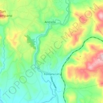
Name: Fontana Liri topographic map, elevation, terrain.
Location: Fontana Liri, Frosinone, Lazio, Italy (41.60106 13.53876 41.64179 13.60823)
Average elevation: 251 m
Minimum elevation: 119 m
Maximum elevation: 499 m