
Billerica topographic map
Interactive map
Click on the map to display elevation.
About this map
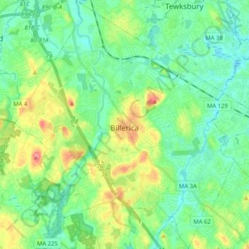
Name: Billerica topographic map, elevation, terrain.
Location: Billerica, Middlesex County, Massachusetts, United States (42.50637 -71.33309 42.61301 -71.20499)
Average elevation: 47 m
Minimum elevation: 23 m
Maximum elevation: 103 m