
Cotulla topographic map
Click on the map to display elevation.
About this map
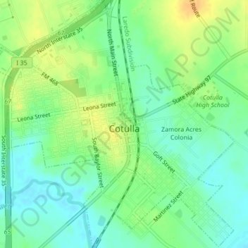
Name: Cotulla topographic map, elevation, terrain.
Location: Cotulla, La Salle County, Texas, United States (28.42146 -99.25282 28.45128 -99.21993)
Average elevation: 128 m
Minimum elevation: 115 m
Maximum elevation: 146 m
Other topographic maps
Click on a map to view its topography, its elevation and its terrain.
Zamora Acres Colonia
United States > Texas > La Salle County > Cotulla > Zamora Acres Colonia
Average elevation: 129 m