
Cerro Perõ topographic map
Interactive map
Click on the map to display elevation.
About this map
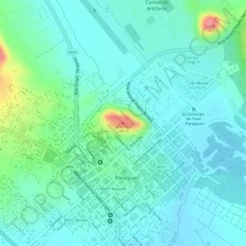
Name: Cerro Perõ topographic map, elevation, terrain.
Location: Cerro Perõ, Paraguarí, Región Oriental, 4000, Paraguay (-25.61479 -57.14813 -25.61469 -57.14803)
Average elevation: 130 m
Minimum elevation: 109 m
Maximum elevation: 201 m