
Dolores topographic map
Interactive map
Click on the map to display elevation.
About this map
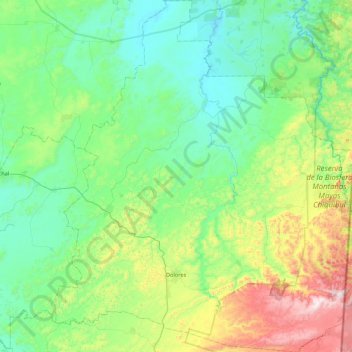
Name: Dolores topographic map, elevation, terrain.
Location: Dolores, Petén, Guatemala (16.41155 -89.57792 16.86571 -89.17579)
Average elevation: 402 m
Minimum elevation: 163 m
Maximum elevation: 980 m