
Ponga topographic map
Interactive map
Click on the map to display elevation.
About this map
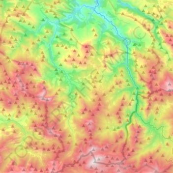
Name: Ponga topographic map, elevation, terrain.
Location: Ponga, Asturias, 33557, Spain (43.09068 -5.28897 43.28342 -5.05330)
Average elevation: 1,018 m
Minimum elevation: 124 m
Maximum elevation: 2,124 m
Other topographic maps
Click on a map to view its topography, its elevation and its terrain.