
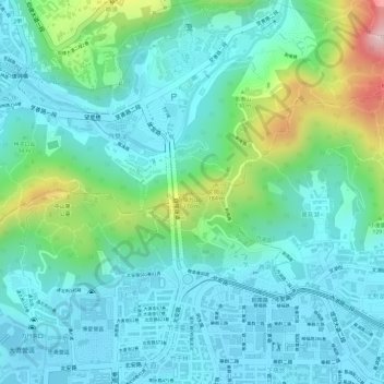
展望點 topographic map
Interactive map
Click on the map to display elevation.
About this map
Name: 展望點 topographic map, elevation, terrain.
Location: 展望點, 自強隧道, 西湖, 北安里, Taipei, 中山區, 10464, Taiwan (25.09181 121.55036 25.09191 121.55046)
Average elevation: 66 m
Minimum elevation: 1 m
Maximum elevation: 273 m