
相思江 topographic map
Interactive map
Click on the map to display elevation.
About this map
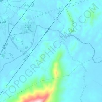
Name: 相思江 topographic map, elevation, terrain.
Location: 相思江, 永福县, 桂林市, 广西壮族自治区, 中国 (25.07674 110.05031 25.10277 110.10733)
Average elevation: 182 m
Minimum elevation: 144 m
Maximum elevation: 532 m