
Étang Cistude topographic map
Interactive map
Click on the map to display elevation.
About this map
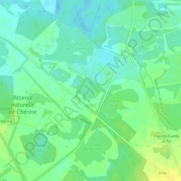
Name: Étang Cistude topographic map, elevation, terrain.
Average elevation: 91 m
Minimum elevation: 83 m
Maximum elevation: 103 m
Other topographic maps
Click on a map to view its topography, its elevation and its terrain.
Les Robineries
France > Centre-Val de Loire > Saint-Michel-en-Brenne > Les Robineries
Les Robineries, Saint-Michel-en-Brenne, Le Blanc, Indre, Centre-Val de Loire, France métropolitaine, 36290, France
Average elevation: 96 m
Réserve naturelle de Chérine
France > Centre-Val de Loire > Saint-Michel-en-Brenne
Réserve naturelle de Chérine, Chemin Rural de Picadon au Moulin-du-Bois, Domaine de Picadon, Saint-Michel-en-Brenne, Le Blanc, Indre, Centre-Val de Loire, France métropolitaine, 36290, France
Average elevation: 93 m