
Chiautla topographic map
Interactive map
Click on the map to display elevation.
About this map
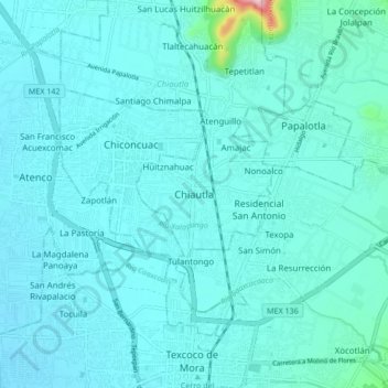
Name: Chiautla topographic map, elevation, terrain.
Location: Chiautla, Estado de México, 56270, México (19.50884 -98.92166 19.58884 -98.84166)
Average elevation: 2,261 m
Minimum elevation: 2,232 m
Maximum elevation: 2,559 m