
O Viveiró topographic map
Interactive map
Click on the map to display elevation.
About this map
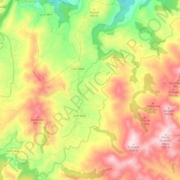
Name: O Viveiró topographic map, elevation, terrain.
Location: O Viveiró, Muras, Tierra Chá, Lugo, Galicia, 27837, España (43.44367 -7.65527 43.52536 -7.58392)
Average elevation: 695 m
Minimum elevation: 342 m
Maximum elevation: 1,029 m
Other topographic maps
Click on a map to view its topography, its elevation and its terrain.
Muras
España > Galicia > Tierra Chá > Muras
Muras, Tierra Chá, Lugo, Galicia, España
Average elevation: 553 m