
Kondia topographic map
Interactive map
Click on the map to display elevation.
About this map
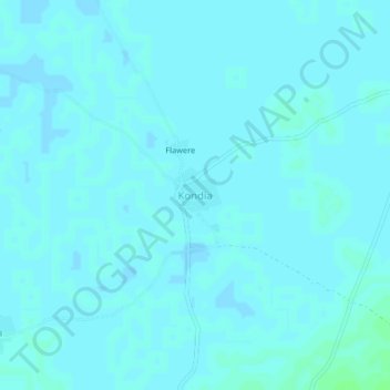
Name: Kondia topographic map, elevation, terrain.
Location: Kondia, Ségou Cercle, Ségou, Mali (13.29048 -5.97025 13.33048 -5.93025)
Average elevation: 281 m
Minimum elevation: 280 m
Maximum elevation: 286 m