
Шакен topographic map
Interactive map
Click on the map to display elevation.
About this map
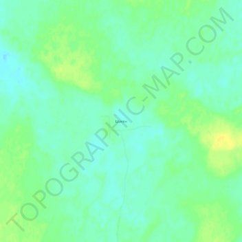
Name: Шакен topographic map, elevation, terrain.
Location: Шакен, Казалинский район, Кызылординская область, Казахстан (46.60255 62.44951 46.64255 62.48951)
Average elevation: 80 m
Minimum elevation: 71 m
Maximum elevation: 91 m