
San Luis topographic map
Interactive map
Click on the map to display elevation.
About this map
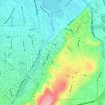
Name: San Luis topographic map, elevation, terrain.
Location: San Luis, Norte de Santander, 540004, Colombia (7.87438 -72.50124 7.91438 -72.46124)
Average elevation: 324 m
Minimum elevation: 275 m
Maximum elevation: 453 m