
Coats topographic map
Interactive map
Click on the map to display elevation.
About this map
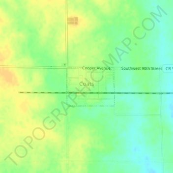
Name: Coats topographic map, elevation, terrain.
Location: Coats, Pratt County, Kansas, États-Unis (37.50821 -98.82969 37.51431 -98.82022)
Average elevation: 603 m
Minimum elevation: 589 m
Maximum elevation: 614 m