
保社里 topographic map
Interactive map
Click on the map to display elevation.
About this map
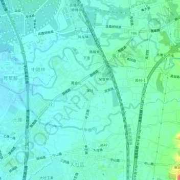
Name: 保社里 topographic map, elevation, terrain.
Location: 保社里, 保社, Kaohsiung, 大社區, 815, Taïwan (22.72639 120.32972 22.76639 120.36972)
Average elevation: 24 m
Minimum elevation: 12 m
Maximum elevation: 76 m