
Del Rio topographic map
Interactive map
Click on the map to display elevation.
About this map
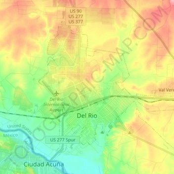
Name: Del Rio topographic map, elevation, terrain.
Location: Del Rio, Val Verde County, Texas, United States of America (29.32516 -100.93644 29.42836 -100.80180)
Average elevation: 311 m
Minimum elevation: 264 m
Maximum elevation: 371 m