
جال الطرفاء topographic map
Interactive map
Click on the map to display elevation.
About this map
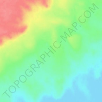
Name: جال الطرفاء topographic map, elevation, terrain.
Location: جال الطرفاء, Provincia Oriental, Arabia Saudita (23.87333 51.42333 23.89333 51.44333)
Average elevation: 31 m
Minimum elevation: -10 m
Maximum elevation: 75 m
Other topographic maps
Click on a map to view its topography, its elevation and its terrain.
حفر الباطن
Arabia Saudita > Provincia Oriental > حفر الباطن
حفر الباطن, محافظة حفر الباطن, Provincia Oriental, 39956, Arabia Saudita
Average elevation: 353 m