
Thank you for supporting this site ❤️
Make a donation
Make a donation
Gear up for your next adventure:
As an Amazon Associate, this site earns from qualifying purchases at no extra cost to you.
Cottam topographic map
Click on the map to display elevation.
Thank you for supporting this site ❤️
Make a donation
Make a donation
Gear up for your next adventure:
As an Amazon Associate, this site earns from qualifying purchases at no extra cost to you.
About this map
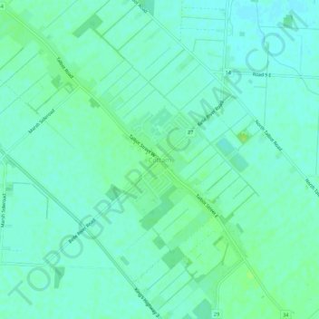
Name: Cottam topographic map, elevation, terrain.
Location: Cottam, Kingsville, Essex County, Ontario, N0R 1B0, Canada (42.10859 -82.76415 42.14859 -82.72415)
Average elevation: 196 m
Minimum elevation: 191 m
Maximum elevation: 203 m
Thank you for supporting this site ❤️
Make a donation
Make a donation
Gear up for your next adventure:
As an Amazon Associate, this site earns from qualifying purchases at no extra cost to you.