Geolocate

Afga topographic map

Click on the map to display elevation.

About this map
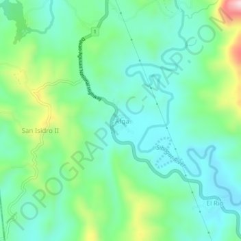
Name: Afga topographic map, elevation, terrain.

Location: Afga, Sibagat, Agusan del Sur, Caraga, 8503, Philippines (8.85370 125.63784 8.89370 125.67784)

Average elevation: 171 m

Minimum elevation: 73 m

Maximum elevation: 448 m

Gear up for your next adventure:

🧺Waterproof Dry Sacks - Organize your pack and keep electronics safe from rain and river crossings
🌬️Windbreaker Jackets - Wind protection jackets
📷Backpack Camera Clips - Quick access to your camera while keeping your hands free for climbing
🧯Animal Deterrent Spray - Safety spray for wildlife
🧥Packable Rain Jackets - Breathable waterproof layers for unpredictable mountain weather

As an Amazon Associate, this site earns from qualifying purchases at no extra cost to you.